www.sportdistancecalculator.com
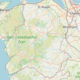
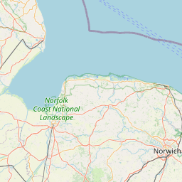
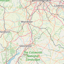
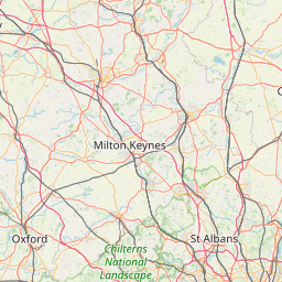
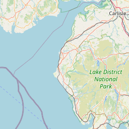
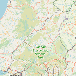
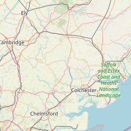
Center the map and set the zoom level to optimize the view of your route.
+
−
Maps - OpenStreetMap
Cycle - CyclOSM
Cycle - OpenCycleMap
Topo - ERSI
Satellite - ESRI
Topo - USGS
Satellite - USGS
30 km
10 mi
Leaflet
|
Service ©
openrouteservice.org
| Map data ©
OpenStreetMap
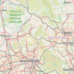
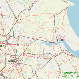
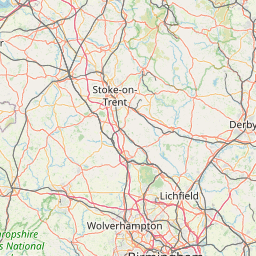
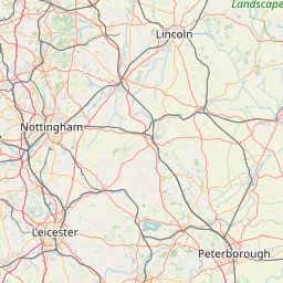
Edit the name of the route below:
botton trip
[
278392
m -
304560
yd |
278.39
km -
172.98
miles ]
You can add notes: